













Final estimates of the gas and particle emissions produced by the Holuhraun eruption have been published, based on ground-level measurements gathered during and after the event, the Icelandic Met Office announced.
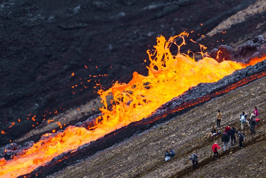
The release of these figures marks the conclusion of a long scientific accounting of one of Iceland’s most significant volcanic events in recent decades. Holuhraun, the fissure eruption that began in late August 2014 and continued into February 2015, poured lava across the Highlands northeast of Vatnajökull and released enormous quantities of sulphur dioxide into the atmosphere over Iceland and northern Europe. Understanding the precise scale of those emissions has carried implications for atmospheric science, public health research, and volcanic hazard monitoring well beyond Iceland’s borders.
What the Holuhraun Emission Estimates Reveal About Iceland’s Volcanic Output
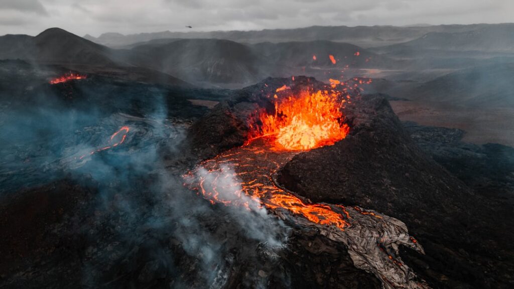
The Icelandic Met Office, known in Icelandic as Veðurstofan, said the new figures are grounded in measurements taken at surface level, as opposed to satellite-derived estimates that have been used in the interim years. Ground-based data of this kind is considered more precise for quantifying localised emission concentrations, and the publication of final figures allows researchers to cross-check and refine models built on earlier approximations.
The Holuhraun eruption was fed by the Bárðarbunga volcanic system beneath Vatnajökull, Europe’s largest glacier. At its peak, the eruption was releasing sulphur dioxide at a rate that periodically exceeded the combined industrial SO₂ output of all of mainland Europe — a comparison that drew international scientific attention at the time and prompted air quality warnings across Scandinavia and parts of the British Isles.
Lava from Holuhraun ultimately covered an area of roughly 85 square kilometres in the uninhabited Highlands, making it the largest lava flow in Iceland since the Skaftá Fires of 1783. No structures were destroyed and no direct casualties were recorded, but the eruption’s gas emissions posed a serious and sustained public health concern for communities in Iceland’s north and east, where sulphur dioxide concentrations repeatedly exceeded safe thresholds.
How Ground-Based Measurements Differ From Satellite Data
Satellite instruments played a central role in monitoring Holuhraun in real time during 2014 and 2015, but their readings carry inherent limitations — cloud cover, atmospheric scattering, and the altitude at which gas plumes disperse can all introduce uncertainty. Ground-based sensors placed in and around the eruption zone collected data at close range, offering a complementary picture that is now, nearly a decade on, compiled into a definitive assessment.
That decade-long gap between eruption and final publication reflects the painstaking nature of volcanological data analysis. Researchers must reconcile readings from multiple instrument types, account for changing wind patterns that dispersed gases unevenly across the region, and apply quality-control filters to remove anomalous readings. The result is a dataset that the scientific community can use with a higher degree of confidence than the preliminary figures allowed.
Iceland sits astride the Mid-Atlantic Ridge and is one of the most volcanically active landmasses on Earth. The country’s network of monitoring stations, managed in large part by the Icelandic Met Office and the University of Iceland’s Institute of Earth Sciences, represents one of the most comprehensive volcanic surveillance systems in the world. Holuhraun tested that network extensively and prompted upgrades to both monitoring equipment and public alert protocols in the years that followed.
Significance for Future Volcanic Hazard Planning in Iceland
Accurate historical emission data serves a practical purpose beyond academic publication. Civil protection authorities and public health agencies use benchmark figures from past eruptions to calibrate response plans for future events. With volcanic unrest a near-constant feature of Iceland’s geological life — the Reykjanes Peninsula has seen repeated eruptions since 2021 — having reliable emission baselines from a large-scale event like Holuhraun strengthens the foundation on which future risk assessments are built.
Officials have not indicated when a broader scientific paper based on the final estimates will appear in peer-reviewed literature, but the publication of the data by the Icelandic Met Office signals that the material is now available to the wider research community.
Researchers and volcanic hazard planners will be watching closely to see whether the finalised Holuhraun figures prompt any revisions to existing atmospheric models, and whether the methodology used here will be applied to the more recent eruption series on the Reykjanes Peninsula.
Original source: Icelandic Met Office — News