













Scientists are keeping a close watch on Öræfajökull, Iceland’s largest active volcano by volume, after the Icelandic Met Office issued an updated monitoring report on 22 December 2017 indicating that unrest at the glacier-capped volcano had continued into the winter period.
Öræfajökull sits at the southern end of Vatnajökull, Europe’s largest ice cap by volume, in a remote stretch of the South Iceland highlands. The volcano last erupted in 1727, but any renewed activity would pose serious risks to nearby communities, infrastructure along the Ring Road, and air traffic across the North Atlantic. That makes ongoing surveillance essential.
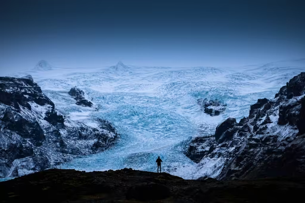
The Icelandic Met Office — Iceland’s national meteorological and geophysical authority, known in Icelandic as Veðurstofa Íslands — issued the 22 December bulletin as part of a series of regular updates that began earlier in the autumn of 2017, when instrumentation at the volcano registered increased seismic activity and signs of geothermal unrest near the summit caldera.
What Öræfajökull monitoring involves
Tracking a subglacial volcano like Öræfajökull requires a network of seismometers, GPS sensors and geochemical instruments placed across the ice. Scientists watch for earthquake swarms, ground deformation, and changes in meltwater chemistry — all of which can signal rising magma or shifts in hydrothermal systems beneath the glacier.
The volcano’s summit, Hvannadalshnúkur, reaches 2,110 metres and is Iceland’s highest peak. The ice above the caldera acts as both a cap and a hazard: if magma interacts rapidly with glacial ice, it can trigger a jökulhlaup — a catastrophic glacial outburst flood — with little warning. The 1362 eruption of Öræfajökull, one of the largest explosive eruptions in Icelandic recorded history, effectively depopulated the surrounding region, giving it the name Öræfi, meaning wasteland.
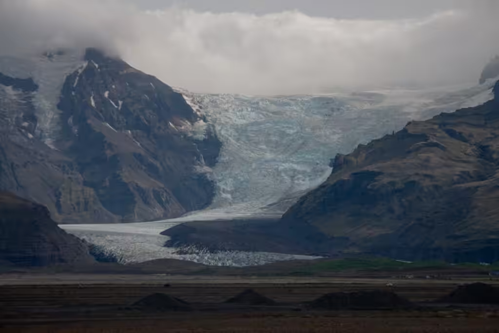
Authorities have contingency plans in place for communities in the Öræfi district, including the small settlements of Hof and Svínafell, and for traffic on the Ring Road, which passes directly through the area. In the event of a significant eruption or flood warning, road closures and evacuation orders would be coordinated between the Met Office, the Department of Civil Protection and Emergency Management — Almannavarnir — and local police.
Why the December 2017 update matters
The December bulletin came during a period when Öræfajökull had been under heightened scrutiny for several months. Instruments had recorded elevated seismicity, and officials were monitoring whether activity represented a temporary fluctuation or a longer-term trend toward renewed unrest.
Regular public updates from Veðurstofa Íslands serve a practical purpose beyond scientific record-keeping. They give residents, local authorities, and international aviation bodies a consistent picture of the volcano’s status. Iceland sits astride the Mid-Atlantic Ridge, and its volcanic systems are monitored in part because eruptions can inject ash into the jet stream, disrupting transatlantic flights — as Eyjafjallajökull demonstrated dramatically in 2010.
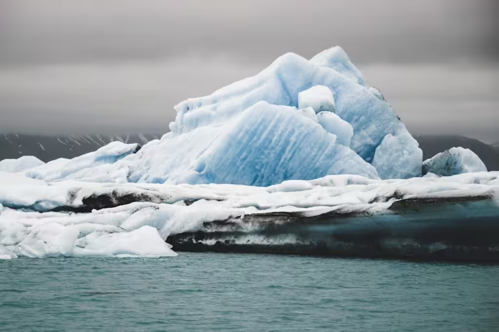
The Icelandic Met Office publishes volcano updates across a colour-coded aviation alert system, ranging from green — meaning the volcano is in its normal, non-eruptive state — to red, indicating an eruption is underway with significant ash production. As of the December 2017 bulletin, no eruption had occurred and no evacuation orders were in force.
What comes next for Öræfajökull
Volcanologists cannot predict with precision whether or when Öræfajökull will erupt. What they can do is build a clearer baseline of its behaviour during periods of unrest, which improves the reliability of early warning systems over time.
The winter monitoring period presented its own logistical challenges. Road access to the area is limited in December, when darkness dominates and weather conditions in the South Iceland highlands can deteriorate quickly. Much of the real-time monitoring depends on remote instrumentation rather than ground patrols.
Scientists and civil protection officials were expected to continue releasing periodic updates through the winter and into the new year, with the frequency of bulletins likely to increase if seismic activity intensified.
Original source: Icelandic Met Office — News