


The Icelandic Met Office and the Icelandic Civil Protection Agency have jointly reassessed the alert status for Öræfajökull, Iceland’s largest active volcano, according to a notice published by the Icelandic Met Office.
The reassessment signals a formal review of the risk level assigned to the glacier volcano in southeast Iceland. Such joint evaluations are significant because they can directly affect travel advisories, road access, and emergency preparedness protocols for communities and visitors in the surrounding region.
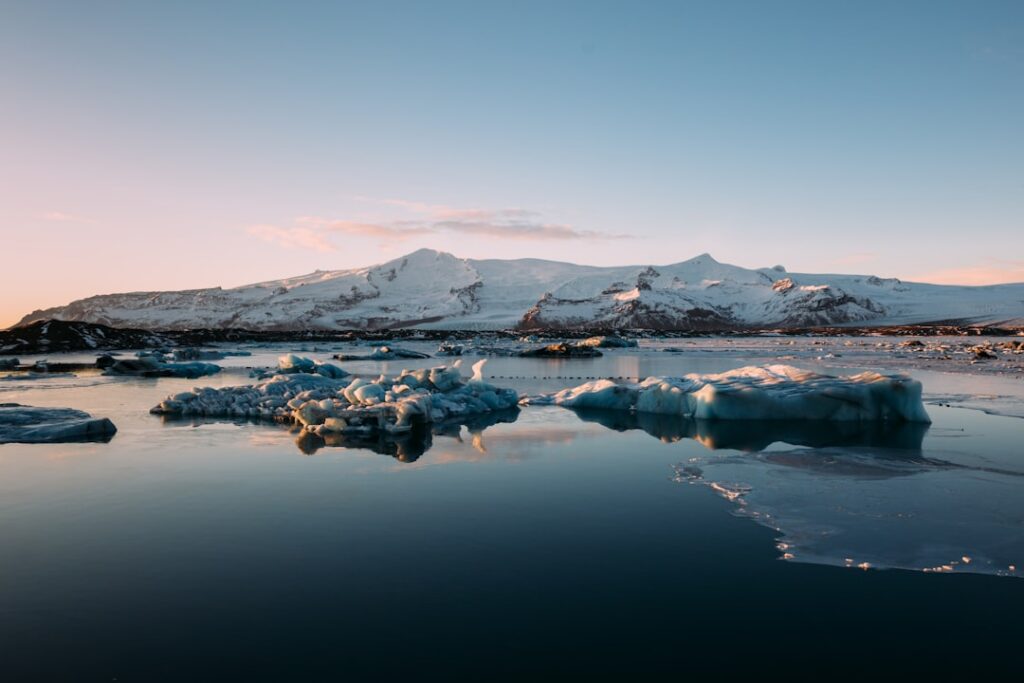
Öræfajökull sits beneath the southeastern edge of Vatnajökull, Europe’s largest glacier by volume, in a sparsely populated stretch of the south coast. The nearest settlement of any size is Höfn, roughly 75 kilometres to the east along the Hringvegur — the Ring Road that connects Iceland’s coastal communities. The volcano last erupted in 1727, but a period of elevated seismic and geothermal activity in 2017 and 2018 prompted authorities to raise alert levels at that time, drawing renewed scientific and public attention to the peak.
What the Öræfajökull status reassessment means in practice
When the IMO and Civil Protection authorities reassess a volcano’s status, the outcome can move in either direction — an upgrade reflecting increased concern, or a downgrade indicating that conditions have stabilised. The formal process involves analysis of seismic monitoring data, GPS ground deformation readings, and geothermal measurements collected by the network of sensors that Veðurstofan, as the Met Office is known in Icelandic, maintains across Iceland’s volcanic zones.
A status change at Öræfajökull carries practical weight. The area around the volcano falls within the Vatnajökull National Park, one of Iceland’s most visited natural areas, and the access road to the Svínafellsjökull glacier outlet — a popular stop for glacier walks and photography — lies within potential hazard zones in a worst-case eruption scenario.
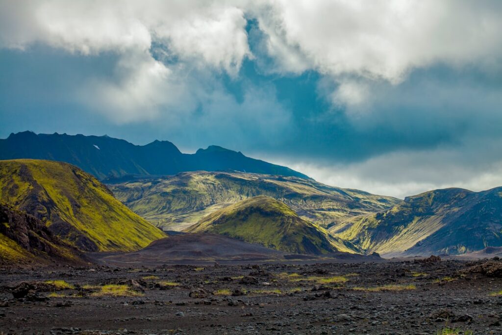
For local farmers and residents in the Öræfi district, any formal reassessment is a reminder of the vulnerability that defines life in Iceland‘s more remote southeast. The landscape there is extraordinary but unforgiving: black sand, glacial outwash plains, and the permanent weight of ice overhead.
Iceland’s volcanic monitoring system and who is responsible
Iceland sits astride the Mid-Atlantic Ridge and is one of the most volcanically active landmasses on Earth. The country experiences eruptions, on average, roughly every four to five years. The Icelandic Met Office carries the primary scientific mandate for monitoring volcanic and seismic activity, while the Department of Civil Protection and Emergency Management — operating under the National Commissioner of the Icelandic Police — holds responsibility for public safety decisions and evacuation planning.
The two agencies work closely together, and joint statements of this kind reflect the formal coordination structure that was reinforced following the 2010 Eyjafjallajökull eruption, which disrupted European air travel for weeks and brought Iceland’s volcanic systems to global attention.
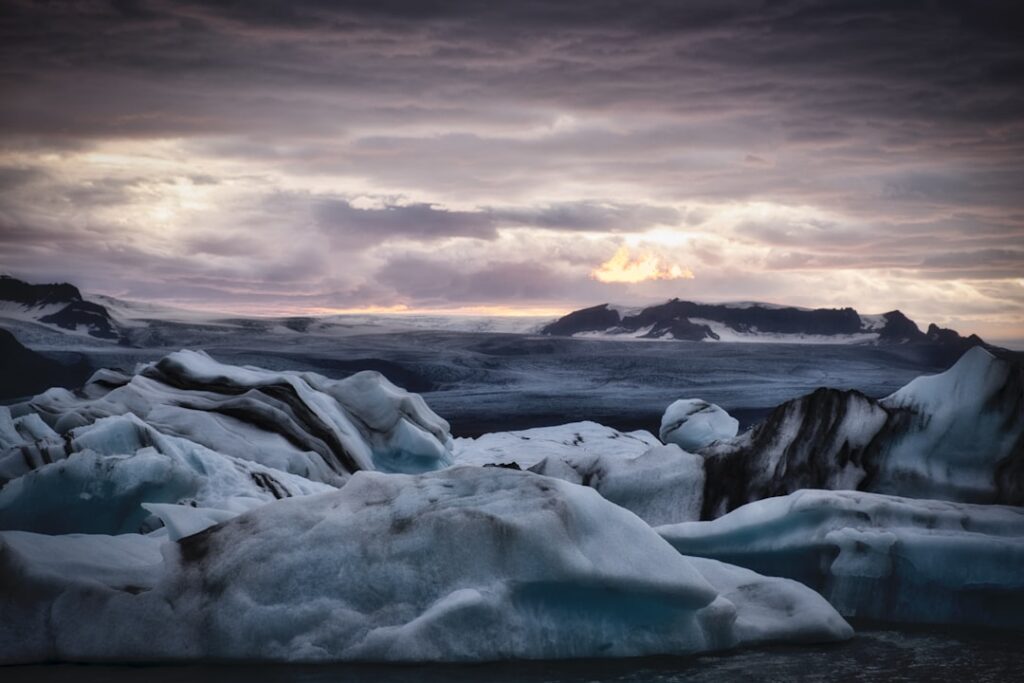
Öræfajökull is classified as a central volcano with a caldera approximately 4 kilometres wide, sitting at a summit elevation of 2,110 metres — the highest point in Iceland. An eruption beneath that volume of ice would generate a significant jökulhlaup, or glacial outburst flood, capable of sweeping across the lowlands to the south in a matter of hours.
What to watch for as authorities review volcanic hazard levels
Full details of the revised status — including whether the alert level has been raised, lowered, or reformulated — are available directly from the Icelandic Met Office, which publishes real-time updates on volcanic activity across the country in both Icelandic and English.
Travellers planning to visit Vatnajökull National Park or transit the Ring Road through the southeast are advised to check current conditions with the IMO and with Vegagerðin, the Icelandic Road and Coastal Administration, which issues road closures and hazard warnings when volcanic or weather conditions warrant.
Further updates from the IMO and Civil Protection authorities are expected as the reassessment process concludes and any revised hazard classifications are formally communicated to the public.
Original source: Icelandic Met Office — News


