


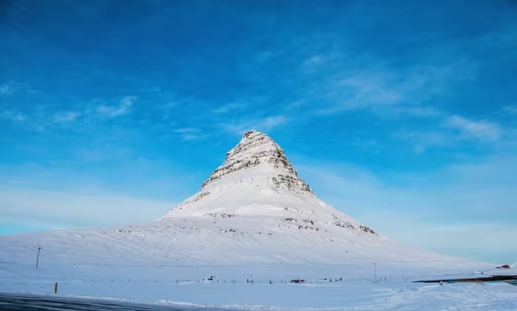
Iceland Braces for Colder Week with Sleet and Possible Snow
As the week progresses, contrasting weather patterns are emerging across Iceland. While rain is set to drench the southwest, regions to the north and east can expect clearer skies and the promise of sunshine.
According to the Icelandic Met Office, a southeasterly airflow will dominate the southwestern landscape today, bringing with it a mix of clouds and intermittent showers.
What’s the Story?
- Southwest Iceland: Expect southeasterly winds accompanied by overcast skies and occasional rain.
- North and East Iceland: These areas are likely to enjoy dry conditions interspersed with sunny spells, with temperatures hovering between 8°C and 13°C.
- A band of rain is forecast to move northeastward overnight, paving the way for cooler conditions later in the week. Residents may need to prepare for potential sleet or snow.
In a striking contrast, the northern and eastern regions are anticipated to remain largely dry, benefiting from sunny moments as the afternoon unfolds. However, as night falls, a shift occurs, with rain moving northeastward across the island, heralding increased instability and stronger winds in certain areas.
Cooler Conditions Ahead
Looking toward Tuesday, the forecast suggests calmer weather conditions in the northeast, characterized by lower humidity and lighter winds. In stark contrast, the western parts of the country are likely to feel the chill as evening approaches.
Meteorologists are urging residents to brace for falling temperatures throughout the week. As colder air settles in, rain in some areas could transition to sleet or even snow—an early hint that winter is encroaching on the island.
As Iceland prepares for these weather shifts, staying informed will be crucial for residents and visitors alike.


