


The Reykjaness volcano system is a geological curiosity, with no central volcano to speak of. Instead, it boasts a captivating landscape of sinkholes, lava fields, slag craters, and pyroclastic cones. Notably, the crater known as Karl emerges from the sea, a remnant of the volcanic activity that characterized the Reykjaneseld eruptions in the 13th century. This fascinating feature reminds us of the past tumult of nature. Photo: Oddur Sigurðsson/Meteorological Office of Iceland.
- Up to 600 earthquakes detected so far
- Multiple seismic swarms have occurred in the area since 2021
- Future activity may continue with sporadic intensity
- No clear evidence of ground deformation detected in the region
On March 12, 2025, at around 14:30, a sharp earthquake swarm started off the coast of Reykjanestá. The first few hours were relentless — roughly 50 to 60 earthquakes were recorded shortly after it kicked off. Things quieted down through the afternoon, then picked back up just before midnight, culminating in a 3.5-magnitude quake. The activity also drifted slightly westward as the evening wore on; the accompanying map shows this shift, with blue circles marking the earlier locations and yellow to red circles for the later ones.
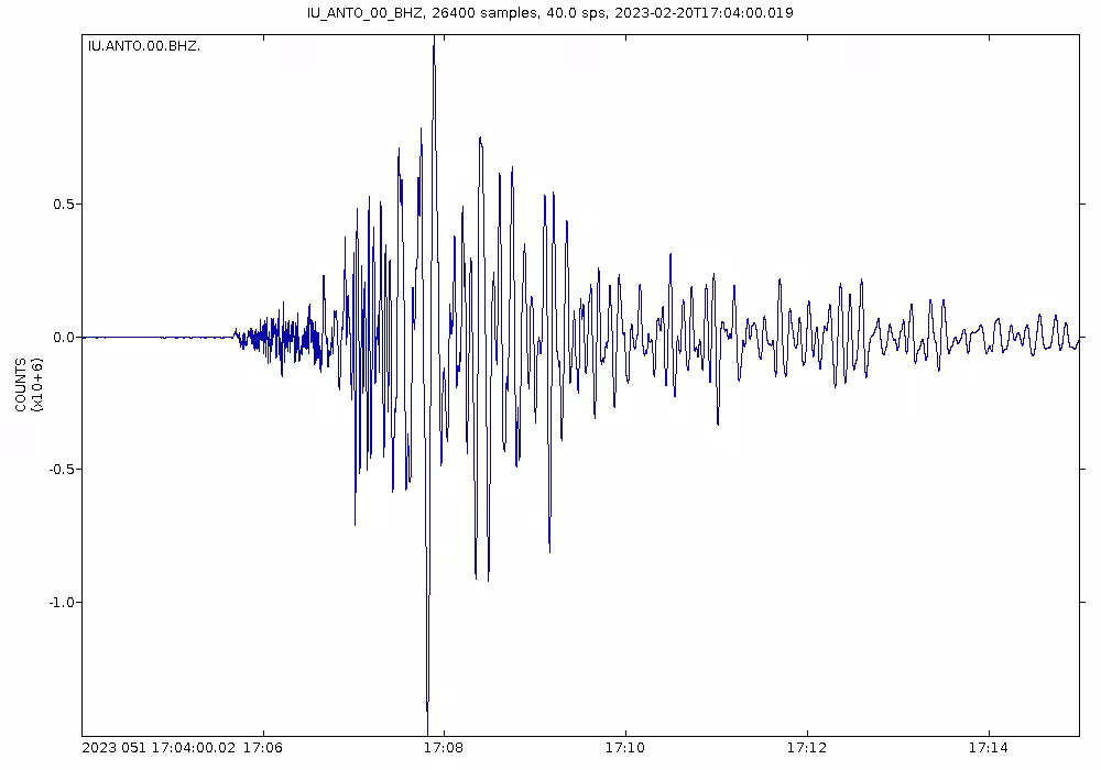
Close to 600 earthquakes have now been registered in total, six of them above magnitude 3. People in nearby communities — including Grindavík, about 12 kilometers east of the epicenter — reported feeling some of the shaking. The swarm has been anything but steady, with quiet spells broken by sudden bursts of activity. Five separate swarms have hit this same stretch since the start of 2023, following notable seismic episodes in 2021 and 2022. The tremors are thought to be tied to stress changes in the Reykjanes Peninsula, possibly amplified by recent magmatic activity. That said, current deformation data show no clear signs that magma movement underground is driving what’s happening now.
Scientists at the Icelandic Meteorological Office are keeping a close eye on the situation, drawing on all available sensor data and measurements in and around Reykjanestá to piece together what’s behind this latest swarm.
Data from Skjálfta-Lísa, the Icelandic Met Office’s earthquake monitoring system. The map visualizes the locations of earthquakes since noon on March 12, highlighting two distinct clusters. The accompanying graph tracks the cumulative number of earthquakes since the swarm began, while the top right graph details the magnitudes of these quakes. Darker colors indicate reviewed magnitudes, while lighter shades represent automatic readings. The bar chart on the right depicts hourly earthquake counts since noon yesterday.


