


Iceland’s Öræfajökull volcano is under increased scientific surveillance, according to the Icelandic Met Office, which has confirmed that monitoring of the glacier-capped stratovolcano in the southeast of the country has been expanded.
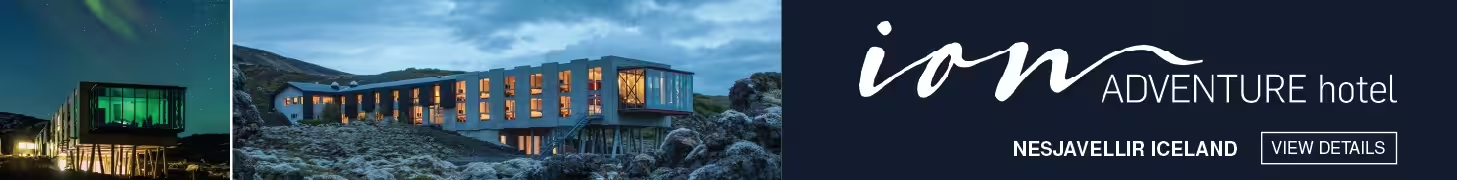
Öræfajökull sits within Vatnajökull National Park and rises to 2,110 metres — making it Iceland’s highest peak and home to one of the country’s most dangerous volcanic systems. Any renewed activity there would pose a direct threat to surrounding communities and to the ring road corridor that links the south and east of the island.
The Met Office, known in Icelandic as Veðurstofa Íslands, has not issued a formal eruption alert, but the decision to strengthen monitoring infrastructure signals that scientists are paying close attention to conditions beneath the ice cap.
Why Öræfajökull Volcano Demands Constant Attention
Öræfajökull last showed signs of significant unrest in 2017 and 2018, when elevated seismic activity and ice cauldron formation drew sustained attention from volcanologists across Europe. That episode raised the volcano’s alert status and prompted civil protection authorities to review evacuation plans for the sparsely populated Öræfi district below.
The volcano’s history alone justifies vigilance. Its 1362 eruption was one of the most destructive in Iceland’s recorded history, burying farms under tephra and glacial floodwater — a jökulhlaup — and wiping out most of the population in the district then known as Hérað. A second major eruption followed in 1727. Both events reshaped the landscape and left the area largely uninhabited for generations.
Today, a small farming community lives in the shadow of the volcano, and the busy Route 1 — the Hringvegur — passes directly through the hazard zone. Tourism has grown steadily in the region, with visitors using Skaftafell as a base for glacier hikes on Vatnajökull’s southern outlets.
What Expanded Monitoring of Öræfajökull Involves
Enhanced monitoring of a volcanic system like Öræfajökull typically involves a combination of seismic sensor networks, GPS ground deformation measurements, and satellite-based radar imagery that can detect even millimetre-scale changes in the glacier’s surface. The Icelandic Met Office runs one of the most sophisticated volcanic monitoring networks in the world, a necessity given that Iceland sits directly on the Mid-Atlantic Ridge.
Officials have not specified which components of the monitoring network have been upgraded or expanded, but increased investment in remote sensing at Öræfajökull follows a broader pattern of infrastructure development across the Vatnajökull system in recent years.
The Met Office coordinates closely with the Department of Civil Protection and Emergency Management — Almannavarnir — to ensure that any early warning signs translate quickly into public safety decisions. That relationship proved critical during the Fagradalsfjall eruptions on the Reykjanes Peninsula beginning in 2021, when rapid sensor data allowed authorities to open and close hazard zones with precision.
What Residents and Travellers Should Know
No evacuation orders or travel restrictions are currently in place for the Öræfi area. The Met Office publishes real-time volcanic and seismic data on its website, and Iceland’s colour-coded aviation alert system provides a quick reference for any change in status at monitored volcanic centres.
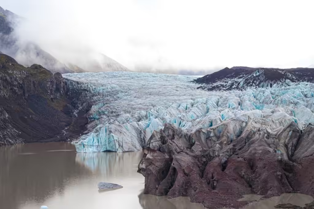
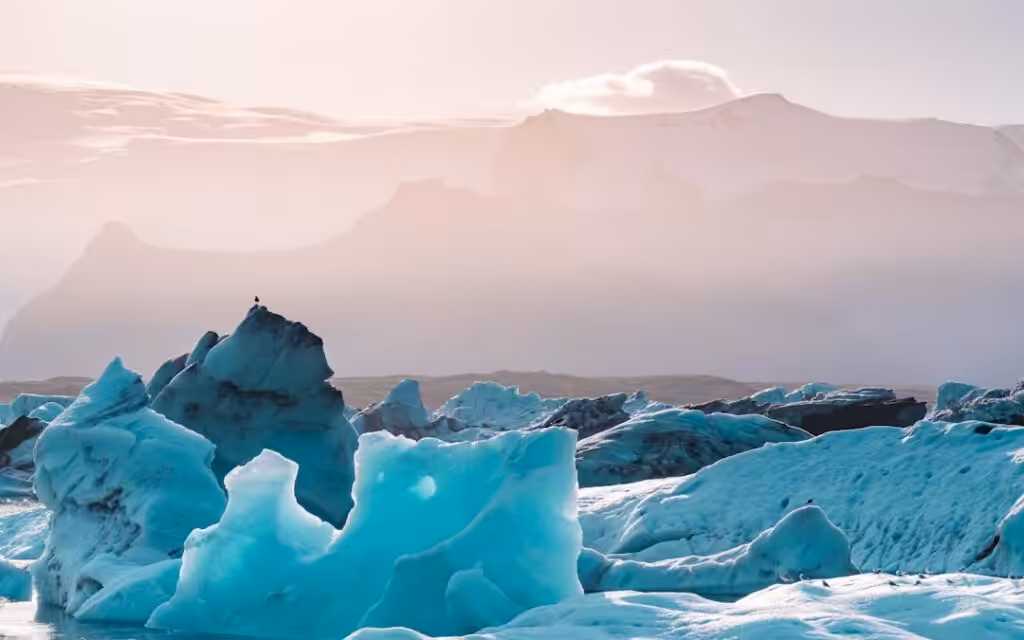
Travellers heading to southeast Iceland — whether to Jökulsárlón glacier lagoon, the black sand beaches near Vík, or the hiking trails at Skaftafell — are advised to check Met Office updates before and during their visit, particularly in periods of increased seismic activity.
Monitoring data from Öræfajökull will continue to feed into ongoing research on Iceland’s most hazardous volcanoes, and any material change in the volcano’s behaviour is expected to trigger an immediate public statement from authorities.
Original source: Icelandic Met Office — News


