


The Icelandic Met Office has announced developments at the Dyngjujökull weather station, extending the agency’s capacity to monitor conditions in one of the country’s most remote and volcanically active regions.
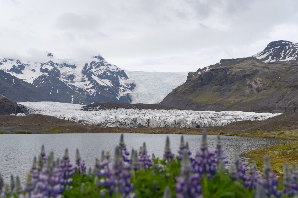
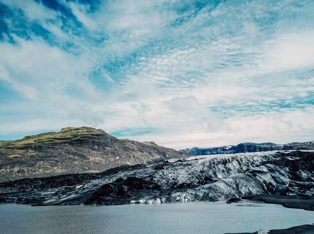
Dyngjujökull is a glacier outlet of Vatnajökull, the largest ice cap in Iceland and the largest in Europe outside Greenland. The area sits directly above the Bárðarbunga volcanic system, which last produced a major eruption in 2014 and 2015. Monitoring activity in this zone carries significance well beyond meteorology — it is also a critical early-warning function for volcanic unrest beneath the ice.
Why the Dyngjujökull Station Matters for Iceland’s Interior
The Highlands of Iceland are among the least accessible terrain in Europe. Roads into the interior are seasonal, passable only in summer for most vehicles, and large stretches remain off-limits to all but specially equipped convoys. Placing and maintaining scientific instruments in this environment is a logistical undertaking in its own right.
The Met Office, known in Icelandic as Veðurstofa Íslands, operates a network of automatic weather stations across the country, many in areas where no human presence is otherwise maintained year-round. These stations feed real-time data into forecasting models, aviation weather systems, and hazard assessments that underpin decisions made by civil protection authorities.
Dyngjujökull specifically has been a focus of heightened attention since the Holuhraun eruption — the largest lava eruption in Iceland in more than 200 years — sent flows across the highland plain north of Vatnajökull. The eruption produced significant air-quality effects across the island and raised sustained questions about how monitoring infrastructure could be improved in the region.
Monitoring Ice, Weather and Volcanic Risk in One Location
Stations positioned on or near glacial outlets like Dyngjujökull serve a dual function. They capture standard meteorological data — temperature, wind speed, precipitation — while also contributing to the broader understanding of how Iceland’s ice caps are responding to a warming climate.
Vatnajökull has lost measurable volume over recent decades. The glacier’s retreat is tracked through a combination of satellite observation, stake measurements on the ice surface, and ground-based sensors. A weather station at Dyngjujökull adds another data point to that picture.
At the same time, the volcanic risk dimension cannot be separated from the location. Jökulhlaup — glacial outburst floods — triggered by subglacial eruptions represent one of the more acute hazards in Iceland’s central region. The Bárðarbunga caldera lies beneath the ice at this point, and any renewed unrest there would first register through seismic sensors and surface deformation measurements, but weather and atmospheric data also play a role in tracking gas emissions and ash dispersal.
Iceland Met Office Expands Its Remote Network
The Icelandic Met Office has steadily extended its monitoring network in recent years, driven partly by the demands of aviation safety — Iceland sits beneath some of the busiest transatlantic flight corridors — and partly by the requirements of Iceland’s growing renewable energy sector, which depends on accurate wind and precipitation data for geothermal and hydroelectric planning.
Reports from the agency indicate that stations in the Highland interior are periodically upgraded or repositioned as conditions and priorities change. The logistics of working in the Highlands mean that any fieldwork there tends to require coordination with the Icelandic Road and Coastal Administration and often involves travel by mountain vehicle or helicopter.
Further detail on the scope and purpose of the Dyngjujökull station is expected from the Met Office as the project develops.
Original source: Icelandic Met Office — News


