


New seismic monitoring stations have been installed around Öræfajökull, Iceland’s largest volcano by volume, as part of efforts to strengthen earthquake detection in one of the country’s most closely watched volcanic systems, the Icelandic Met Office has confirmed.
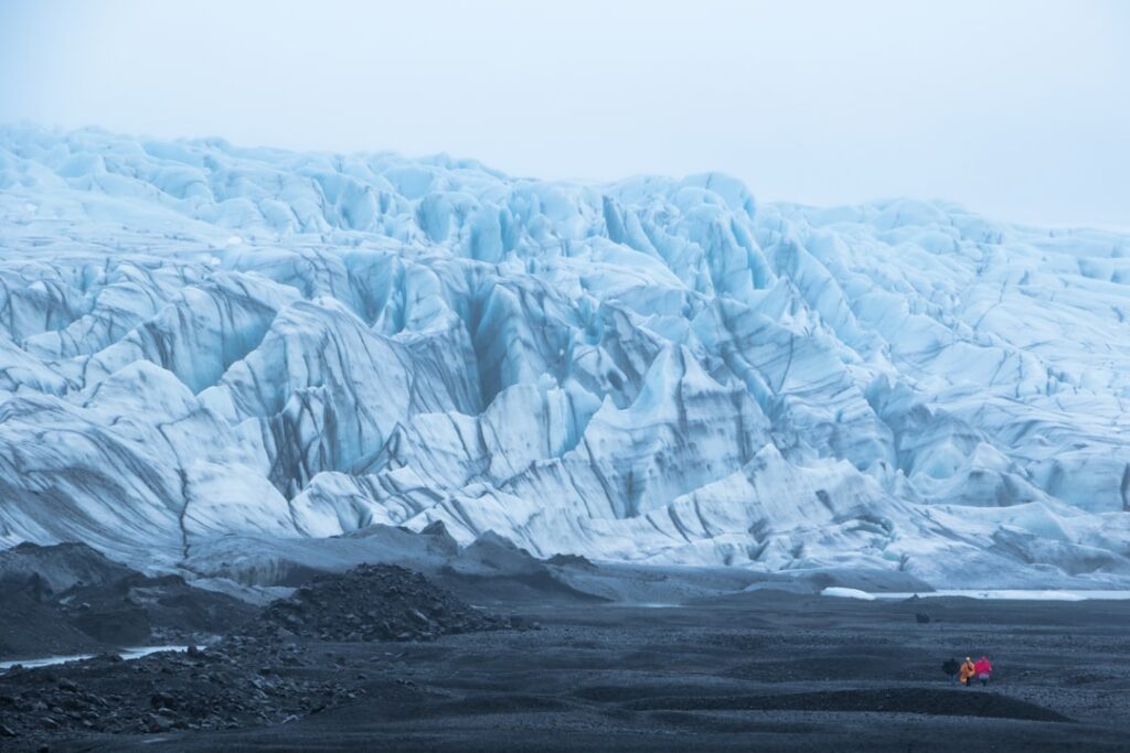
The upgrade matters because Öræfajökull sits beneath the southeastern edge of Vatnajökull, Europe’s largest glacier by volume, and any significant eruption there would pose a direct threat to nearby communities and the busy Ring Road corridor. Iceland’s seismic network is the primary early-warning tool scientists rely on to track unrest beneath ice-covered volcanic systems.
The Icelandic Met Office, known in Icelandic as Veðurstofa Íslands, manages the national seismic network and has been steadily expanding its coverage across the country’s most hazardous volcanic zones in recent years. Officials confirmed the new stations are now operational around the Öræfajökull caldera, though the precise number of new instruments and their exact placement had not been detailed in publicly available communications at the time of publication.
Why Öræfajökull seismic monitoring is a national priority
Öræfajökull last showed serious signs of unrest in 2017 and 2018, when a swarm of earthquakes and elevated geothermal activity prompted Icelandic authorities to raise its aviation colour code and issue public information warnings. That episode drew considerable attention to how thinly monitored the volcano had been, given the scale of the hazard it represents.
The volcano produced two of Iceland’s most destructive eruptions in recorded history — in 1362 and again in 1727. The 1362 event, one of the largest explosive eruptions in Iceland since the settlement of the country, effectively wiped out the farming district that once occupied the plains below the glacier. Those plains are still called Öræfi, meaning “wasteland” — a name that has endured for more than six centuries.
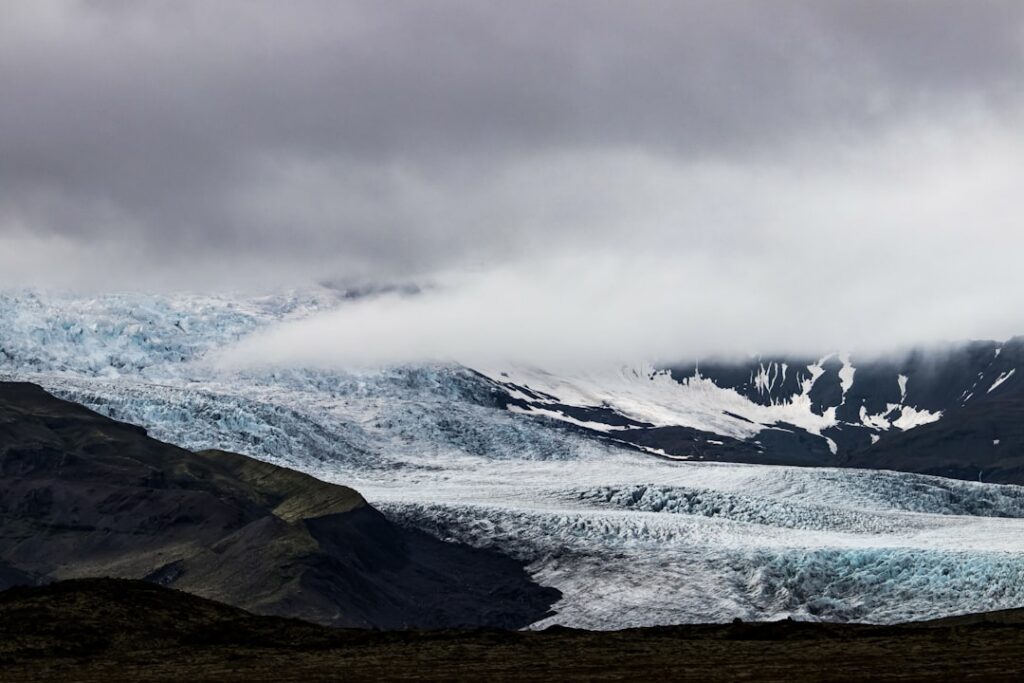
A future eruption beneath the icecap would almost certainly generate a glacial outburst flood, or jökulhlaup, capable of sweeping across the coastal lowlands to the south and cutting the Ring Road. The nearest settlement, Hof, lies only a few kilometres from the glacier’s outlet tongues. Improving real-time seismic data is therefore directly linked to the time available for any evacuation.
How Iceland’s volcanic monitoring network works
Iceland’s seismic monitoring infrastructure is operated by Veðurstofa Íslands in coordination with the University of Iceland’s Institute of Earth Sciences. Data from individual stations feeds into a centralised system that tracks earthquake locations, depths, and magnitudes in near real time. When station density is low, as it historically has been around Öræfajökull’s remote southern flanks, small earthquakes can go undetected or be poorly located.
Denser networks allow scientists to detect smaller events, refine hypocentre locations, and identify patterns — such as migrating earthquake swarms — that can signal magma movement well before any eruption begins. In that sense, each new station represents a measurable improvement in the warning time available to civil protection authorities.
The Civil Protection Department in Iceland, Almannavarnadeild, coordinates with the Met Office and the Institute of Earth Sciences when volcanic unrest reaches defined alert thresholds. Decisions about public warnings, road closures, and evacuations in the south of Iceland ultimately depend on the quality of the seismic data feeding into that system.
What comes next for volcanic hazard planning in southeast Iceland
The installation of the new stations is part of a broader, ongoing effort to close monitoring gaps across Iceland’s active volcanic belt. Southeast Iceland, from Grímsvötn beneath Vatnajökull to the Öræfajökull massif on its southern rim, remains one of the most volcanically active stretches of terrain in Europe.
Authorities and researchers will be watching closely to see whether the improved instrumentation reveals any previously undetected seismic activity beneath the volcano — and whether the denser network changes the scientific picture of how restless the system currently is.
Original source: Icelandic Met Office — News


